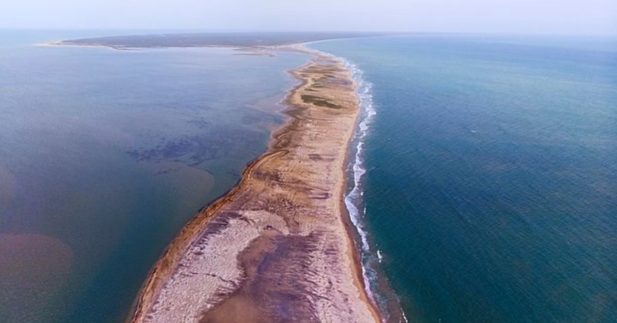
The Indian Space Research Organisation (ISRO) has generated the most detailed map of Adam’s Bridge – popularly known as Ram Setu – confirming the submerged ridge as a “continuity” from Dhanushkodi in India to Talaimannar Island of Sri Lanka. Researchers from ISRO’s Jodhpur and Hyderabad National Remote Sensing Centres carried out the mapping exercise with the National Aeronautics and Space Administration (NASA) satellite ICESat-2 that bounced laser beams off the seafloor to establish that 99.8 percent of Adam’s Bridge was submerged in shallow waters. “The results from our research confirm that, in its entirety, Adam’s Bridge is a submarine continuation of Dhanushkodi and Talaimannar Island. Throughout the crest line of Adam’s Bridge, approximately 1.5 km on either side is highly undulating within the super-shallow water with occurrences of sudden depths,” a study published by the scientists in Scientific Reports read. Adam’s Bridge, popularly known as the Ram Setu in the Indian subcontinent, is a chain of shoals between Mannar Island, off the northwest coast of Sri Lanka, and Rameswaram Island, off the southeast coast of India. Existing geological evidence has suggested that the bridge represents a former land connection between India and Sri Lanka.
ISRO scientists have now found an asymmetry of transverse slopes to the base on both sides of the Adam’s Bridge, indicating dominant transgression of material energy from the waters of the Gulf of Mannar compared to the Palk Strait. “The volume of Adam’s Bridge computed in our research yielded a value of about 1 km3. Interestingly, only 0.02 percent of this volume is above the mean sea level, and in general, the same is visible in optical satellite imagery – in total, around 99.98 percent of the Adam’s Bridge is submerged in shallow and super-shallow waters,” the study read. It is important to note that satellite observations before this have confirmed the presence of the submerged structure, but these focused on portions that were elevated above water.
The shallow depths of the sea on this side have also hindered previous attempts to map this bridge from ships. This time, researchers used photons emanating from ICESat-2’s green laser, which has the potential to detect the seafloor up to a depth of about 40 meters. “Taking a cue from this potentiality, in our research, we have accrued approx. 0.2 million photons representing the depth information and generated a 10 meters resolution bathymetric data for the extent of Adam’s Bridge,” the study said. To confirm the current physical features of the Adam’s Bridge, scientists used visual interpretations from bathymetric data through 3D-derived parameters, including the contours, slope, and volumetric analysis.

